
Salem Neighbors Around an Address
Records for Salem neighbors answer narrow questions about the immediate block. The city-limits check identifies the municipality and county route. Parcel and assessment records provide property context, while the association finder supplies civic context. Permit records add dated administrative information, not a roster. Begin with the parcel and the source date, then keep a clear distinction between an ownership field, a mailing field, a historical listing, and a present household.
| Source | What It Shows About a Block | Access |
|---|---|---|
| Salem city-limits locator | Whether the address is in City limits and which county path may apply | Address or point map |
| Marion County GIS and parcel service | Visual parcel, street, nearby-feature, and layer context | County map and public parcel-service route |
| Marion County Assessor property search | Property description, ownership, mailing, location-address, tax-lot, district, and assessment context | Official property-search entry |
| Salem neighborhood finder | City-recognized association geography, agendas, minutes, meetings, and contacts | Address-based finder |
| Salem Permit Application Center | Planning or permit context for an address, subject to record class and date | Address, permit-number, or request path |
An ownership or mailing entry is not evidence that someone currently lives at a parcel. Similarly, a nearby address does not establish a personal relationship. Salem neighbors are best understood as nearby record units whose source and date can be checked.
Salem Parcel Context First
Use the Salem city-limits locator before selecting a county system. Salem crosses Marion and Polk counties, so a Salem postal address is not automatically a Marion County parcel. For a Marion County location, the Assessor and its property-search entry provide the official account route. The County says its online property information is refreshed every 24 hours, so retain the retrieval date.
Marion County's public parcel service is the source for the Salem neighbors map capture below.
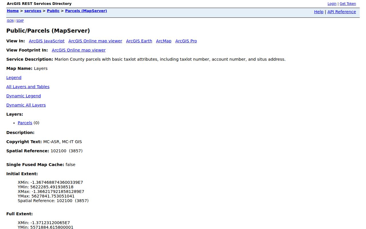
The Salem neighbors parcel-service capture shows why a map is useful for visual context while remaining insufficient to establish a surveyed boundary.
GIS can show a parcel shape, streets, nearby public features, and named layers. It cannot settle a legal line or confirm a current occupant. When a conclusion depends on a boundary, use the responsible agency's official boundary material and the recorded legal description.
Salem Block Parcel Workflow
Work outward from one verified address and preserve the source boundary at every step. The sequence moves from location to parcel context, not from a name to a profile. Exact directional suffixes and unit details matter in Salem because omitting them can point a search to a different street or record.
- Enter the complete address in the City limits locator and identify the applicable county.
- Open the relevant Assessor account and retain the location, ownership, mailing, and account information that the official record shows.
- Use County GIS to view the target parcel and adjoining parcel context, noting map or account references rather than relationship claims.
- When document history matters, carry the legal description into the Recorder's recorded-document or historic-deed path.
- Check PAC for dated planning or permit context, then use directories or maps for a historical question.
The full current street chain, including the legal-description route, is covered by the Salem street directory. A block review stays focused on immediate parcels and civic context.
Note: Marion County maps support comparison and orientation, but the County warns that mapper lines are not legal-survey quality.
Salem Neighborhood Association Context
Salem has recognized neighborhood associations since 1972 and currently identifies 17. Entering an address into the City's neighborhood-association finder can return the association connected with that location, along with civic materials such as agendas, minutes, meetings, and contacts. The result describes civic geography and public discussion. It does not identify members or establish who lives at an address.
| City-listed name group | Recognized associations | Public context route |
|---|---|---|
| Names C-G | CANDO, ELNA, Faye Wright, Grant | Use the address finder for the applicable association and its current City-linked materials. |
| Names H-N | Highland, Morningside, NESCA, NOLA, NEN, Northgate | Use the address finder for the applicable association and its current City-linked materials. |
| Names S-W | SCAN, South Gateway, SEMCA, SESNA, SWAN, Sunnyslope, West Salem | Use the address finder for the applicable association and its current City-linked materials. |
Association names belong to the City's civic map layer. A planning notice may include association material, and meeting records can place an address in local public discussion. Neither result substitutes for a title record or supports an inference about individual affiliation.
Note: Association finder results provide civic meeting context, not a household roster or proof of a person's affiliation.
Salem PAC Block Records
The Salem Permit Application Center is an address-history source for structural, electrical, mechanical, plumbing, development, land-use, parking, and license material from July 1, 2005 forward. City guidance allows an address, permit number, or other relevant information route, although the reviewed live screen did not expose a complete stable field list. Public results can differ by record class.
A planning or permit result may include a number, type, status, address, attachments, neighborhood context, work description, inspection timing or results, and applicant or contractor information. It records an administrative event. It does not establish a property's condition, value, later involvement, or current occupants. Older City applications, plans, permits, and forms may require a focused public-record request.
Note: PAC information is administrative context tied to a record class and date, not a current account of a property.
Salem Historical Block Directories
Historical block work requires a publication date. From 1932 forward, Salem reverse directories allow an address-to-person search for the edition in hand. Before 1932, obtain a name from a deed, map, directory, or another dated source, then search name listings. The result should be described as a historical listing on the block, not as a current neighbor record.
The Salem historic-property research guide starts with addition name and lot or block before the Recorder legal description. Sanborn maps, city directories, and dated newspapers can then add context. Each source answers a different question, so retain the original street form, date, and abbreviation.
Note: A directory line proves a printed listing for its edition, while a map or deed may describe the same address differently.
Salem Streets Across Time
Street names can interrupt a block search. Salem publicly documented the 2022 renaming of Salem Parkway to Dr. Martin Luther King Jr. Parkway. Preserve the older name, the current official name, the document date, and the directional suffix when they appear. The documented rename shows why an old and new form may both need checking; it does not mean every Salem street changed names or numbers.
Compare a historical map label, directory entry, legal description, and current City street form side by side when they diverge. Do not repair the discrepancy by silently choosing the newer label. A dated crosswalk makes the research trail understandable and prevents an old listing from being attached to the wrong modern address.
Salem Neighbors Across Counties
City limits, postal routing, county custody, and parcel boundaries are separate kinds of Salem geography. West Salem can be inside City limits while requiring Polk County records. A City limits result answers the municipal question; the relevant County Assessor and Clerk answer parcel and recording questions; USPS answers a mailing-code question. Check the point first rather than treating the word Salem as the full jurisdiction.
This geography is especially important near the river and at an edge of the City. A Marion County parcel search should not be substituted for the correct Polk County path merely because an address uses Salem as its postal city. Record the county used beside every parcel or document result.
Salem Voter Data Boundaries
Oregon's individual voter-search entry point displayed a CAPTCHA during research, and no public field list was assumed beyond that barrier. Oregon law governs voter-list disclosure and excludes protected details such as signatures, Social Security numbers, driver-license information, and birth month and day. Access conditions and list agreements should be checked with the current official process.
A registration category is not a block roster, and a voter record does not reveal ballot choices. The City and County geography can also differ for Salem election administration, so a verified address and the responsible election office remain important before making a records request.
Note: A voter record can have disclosure limits, and it never reveals how any person cast a ballot.
Salem Neighbor Source Comparison
Official records and commercial neighbor tools serve different purposes. Official sources can show their own dated parcel, map, planning, or civic context. Unnamed commercial tools often combine data from multiple sources, but their labels, refresh timing, and matching methods are not a substitute for an agency record. A responsible comparison starts with the record type needed, then verifies it with the original custodian.
| Method | Useful Salem block context | Limit to keep visible |
|---|---|---|
| Official parcel and GIS sources | Property and map context tied to a county record or map service | Not a survey and not proof of occupancy |
| City association and PAC sources | Civic, meeting, planning, and permit context for a location | Not a membership roster or property-condition finding |
| Commercial neighbor tools | A starting point for a question that needs confirmation | May be stale, merged, incomplete, or incorrectly matched |
Use an official record to support the limited fact it actually reports. A source date, account reference, and agency name are more useful than an unsourced identity label.
Salem Neighbor Privacy Limits
Some information is intentionally unavailable. Oregon's Address Confidentiality Program provides an eligible participant with a substitute mailing address and mail-forwarding service. Protected addresses must remain unavailable, not reconstructed by combining records. Oregon also provides specific non-disclosure paths for certain personal-safety circumstances, while other public records may remain subject to their own statutory rules.
Property ownership, a PAC applicant field, a directory listing, and a map line each have limited evidentiary value. Keep the agency, record type, retrieval date, and source URL with every note. Leave protected, sealed, or missing information unavailable rather than trying to fill the gap.